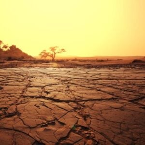
Africa’s water resources are under growing strain as rising demand, climate variability, and declining water quality intensify pressures across the continent. Persistent gaps in reliable data on water availability and scarcity have limited the ability of governments and institutions to plan effectively and respond to these challenges. At the same time, rapid advances in digital technologies now offer transformative opportunities to shift water management from fragmented and reactive approaches toward integrated, forward-looking solutions.
Against this backdrop, the International Water Management Institute, with support from The Leona M. and Harry B. Helmsley Charitable Trust and in collaboration with Digital Earth Africa, has launched the Digital Innovations for Water Secure Africa initiative. DIWASA brings together data, technology, and partnerships to strengthen how African institutions plan, monitor, and manage water resources. By expanding access to decision-support tools, remote sensing data, tailored capacity development, and inclusive stakeholder engagement, the initiative aims to support more sustainable, transparent, and evidence-based water governance.
At its core, DIWASA promotes a data-driven approach that builds institutional capacity to collect, analyze, and apply water information across scales. Integrated digital tools and open data systems enable government agencies, basin authorities, and local communities to move beyond crisis response toward proactive planning. This shift supports more efficient allocation of water, better management of competing demands, and improved resilience to climate-related risks.
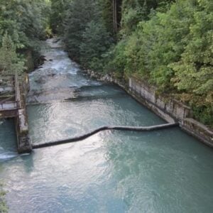
The initiative has developed a wide range of water data products by combining Earth observation, hydrological modeling, artificial intelligence, and advanced analytics. These products address long-standing data fragmentation and provide new insights into agricultural water use, river flows, water balances, and water-related risks. High-resolution datasets on crop water use, streamflow, and water accounts now make it possible to better understand how water is supplied, consumed, and shared across sectors and regions, supporting more informed policy and investment decisions.
Building on these datasets, DIWASA generates multi-scale indicators of water availability and irrigation performance that help decision-makers assess efficiency, sustainability, and equity in water use. Innovations such as improved crop partitioning frameworks have significantly enhanced understanding of irrigated and rainfed agriculture, revealing previously underestimated levels of irrigation and strengthening the evidence base for agricultural water management.
To translate data into action, DIWASA has also developed practical digital tools tailored to local realities. These tools support field-scale monitoring, irrigation planning, water storage assessment, access to safe water, and climate-resilient agricultural decision-making. Most are co-developed with national authorities and embedded within capacity-building efforts to ensure long-term ownership and sustainability.
A flagship example of this approach is the Digital Twin of the Limpopo River Basin, which integrates national datasets, satellite imagery, modeling, and citizen science into a single virtual platform. By providing near real-time insights into river flows, reservoirs, water quality, and irrigation use, the Digital Twin strengthens transboundary cooperation and enables proactive responses to floods, droughts, and allocation pressures. Its design also promotes inclusive governance by enabling communities, especially youth and marginalized groups, to contribute data and participate more actively in water management.
Across several countries, DIWASA’s tools have already been applied to address concrete water management challenges. Collaborative use cases in Burkina Faso, Ethiopia, Ghana, and Zambia demonstrate how digital dashboards, water accounting, and scenario modeling can inform equitable allocation, modernize irrigation schemes, fill critical data gaps, and reduce conflicts among water users. These experiences highlight the value of combining advanced analytics with local knowledge and institutional engagement.
To ensure broad access and usability, DIWASA prioritizes data dissemination through regional platforms and user-friendly portals. By integrating satellite-derived datasets with interactive maps and visualization tools, the initiative makes complex water information accessible to both technical experts and practitioners. In doing so, DIWASA is helping lay the foundation for data sovereignty, innovation, and more resilient water management systems across Africa.